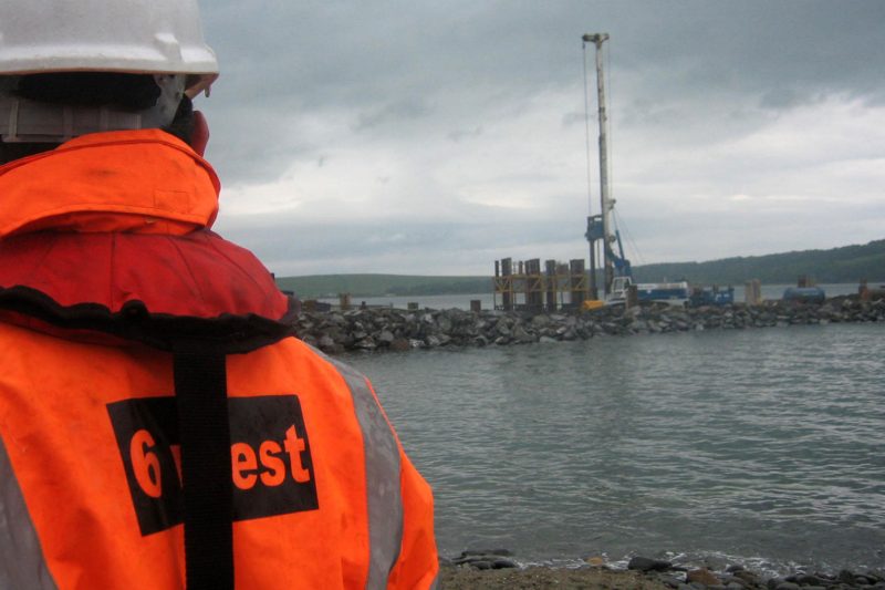
Whatever the project, we can provide the survey data tailored to meet your project design requirements. For highways, infrastructure and construction projects, the survey is usually commissioned by the appointed firm of consulting engineers or directly by the relevant government agency.
In the minerals and waste management sectors, we are generally appointed directly by the operator and undertake the initial topographic survey, complete design and layout drawings for the site and prepare and submit a planning application for the development. We regularly prepare Environmental Statements for large quarry extensions and waste management sites.
We provide survey and planning input to projects covering:
- Roads & Transport
- Marine Development & Construction
- Water & Sewerage
- Energy
- Environment
- Rail
- Airports
- Mining & Quarrying
- Waterways & Rivers
- Property
- Leisure
- Housing
- Health & Education
- Defence
Survey & mapping products
Add value to your survey information by using products which range from mapping to photography and software. We can purchase Ordnance Survey Mapping, Aerial Photography and Digital Terrain Data on your behalf, for incorporation into your survey and design data.
Utilities records can be sourced and underground services mapped for inclusion in final survey drawings.
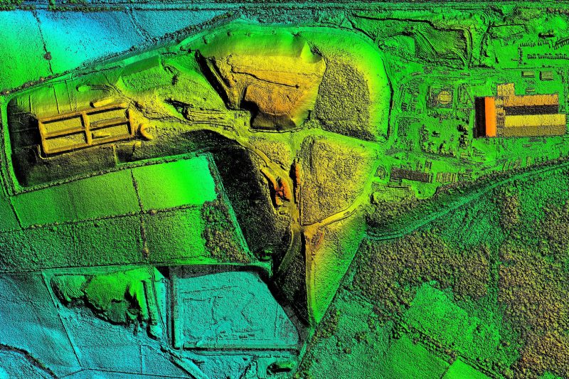
Digital terrain and survey data can be combined with draped aerial photography for photo-realistic mapping and 3D fly through models, all packaged within the required display software.